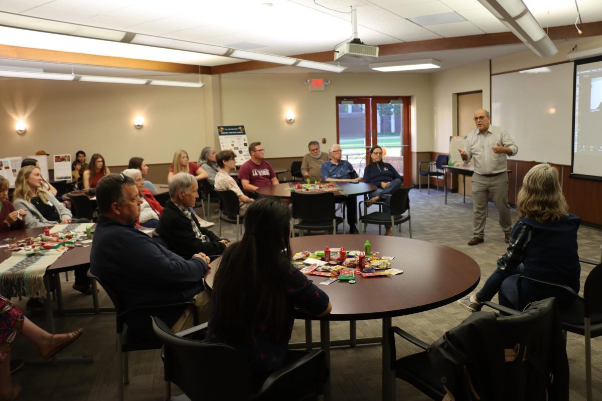
On the morning of November 6, 2020, the Seven Rivers Undergraduate Research Symposium welcomed its keynote speaker, Dan Baumgardt, of La Crosse’s National Weather Service office. Baumgardt, now in his 25th year as lead scientist, also serves as ocience and operations officer.
He and his research were introduced by a Viterbo student researcher, Jessie Benson. In her remarks, she reflected that “Research is a fundamental aspect of society and allows us to ask questions that can lead to scientific discoveries or innovative solutions.”
Baumgardt certainly proved this statement with his deep and far-reaching research on precipitation trends in the greater La Crosse area. It began in 2018, including data that spans beyond his 35-year history in La Crosse. The two main foci of his presentation were precipitation and river levels.
As to how precipitation affects La Crosse’s geographic area, Baumgardt explained, “We live in…an area that wasn’t unglaciated…so there is steep terrain; heavy precipitation is really important because it can do some infrastructure damage and cause problems with flooding.”
Citing numerous models and surveys, which had varying capture periods from the past year to the past 41 years, the lead scientist showed the uptick in precipitation that has rocked the area in recent times. Referring to major events such as the 2008 draining of Lake Delton and the widespread Midwest flooding of 2016, the researcher illustrated that a large part of the Wisconsin-Minnesota-Iowa tri-state area has broken countless rain and snowfall records in recent years, many of which stood for 100 to 140 years. Baumgardt demonstrated, “If you map the differences between [the past two 21-year periods], you see that our area–roughly from about I-90 to I-80—really stands out. That [area shows] 5 inches more precipitation every year on average in the last 21 years versus the 21-year period before 1998.”
Though the picture seems grey, Baumgardt did reveal a glimmer of hope for the Driftless region. Though highly saturated soil levels at the end of 2018 caused more water to run into the river system and increased flooding in 2019, 2020 has proven to be a drier year, which has allowed the hydrologic system to “relax.”
Rounding out his picture with a look at the river system, Baumgardt transitioned with recent measurements taken at the Kickapoo River in La Farge. The annual mean discharge (amount of water flowing down the Kickapoo in a given year) was about 85% above average from 2016 to 2019. Luckily, 2020 has shown a drop-off in this measurement as well, giving hope for a less severe flooding season in the year to come. To put the situation into perspective, Baumgardt noted, “If the rainfall is soaking in and not doing anything in the river system, then it’s not a big threat to us.”
All around, the NWS officer delivered a compelling and detailed report on the state of precipitation in the La Crosse area and how flooding has impacted our past and present. With his work’s focus on “documenting and looking at historical trends,” the researcher explained that determining the source of the problem was not a part of his work. He did acknowledge that global warming was a possible cause, but believes that “[we will] have to see how these trends…evolve over the next decades…that’s a longer-term thing…and attribution of what’s causing it is tough to pin down.”

